Evaluating Land for
Solar Projects:
Conventional Methods vs. pvX
Table of Contents
Evaluating land for solar projects is where it all begins—it’s the make-or-break step that sets the stage for everything else.
The right land can make a big difference in cost, energy output, and whether your project stands the test of time. Traditionally, we’ve relied on tools like Google Earth and detailed site surveys by topographical engineers. These methods work, but they come with their own set of challenges — accuracy, time, and cost can all be sticking points.
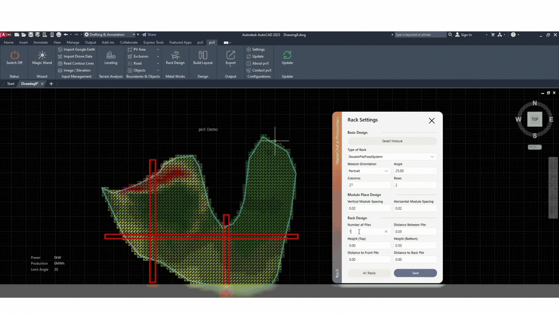
An alternative would be to use a tool like pvX. With detailed 3D models and remote analysis, pvX gives a new, powerful way to assess land. pvX can provide accurate evaluations of a site’s slope, topography, and other critical factors that influence the feasibility of a solar project, whether it’s designed for solar trackers or fixed mounts.
In this blog, we’ll walk through the conventional methods and the pvX approach, comparing what each brings to the table.
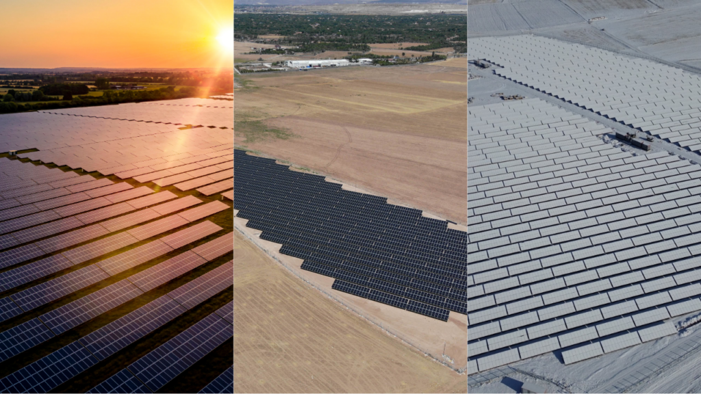
Land Evaluation Matters in Solar Projects
Land evaluation is one of those critical steps you just can’t overlook when planning a solar project. The site you choose directly impacts everything—from how efficiently your solar panels will work, to the cost of installation, and the overall productivity of your plant.
To get it right, you need to carefully analyze factors like slope, shading, soil type, and topography to make sure the site is up to the task of generating enough solar energy.
Get it wrong, and you could face unexpected construction costs, lower-than-expected energy output, or even legal and environmental issues. That’s why a precise, thorough evaluation process is key.
Traditional Land Evaluation Methods: A Quick Overview
Traditionally, evaluating land for solar projects has relied on two main methods: a quick look with Google Earth for a preliminary assessment and more detailed on-site surveys by topographical engineers.
Each method has its strengths and weaknesses, but both are essential in figuring out if a site is right for solar development.
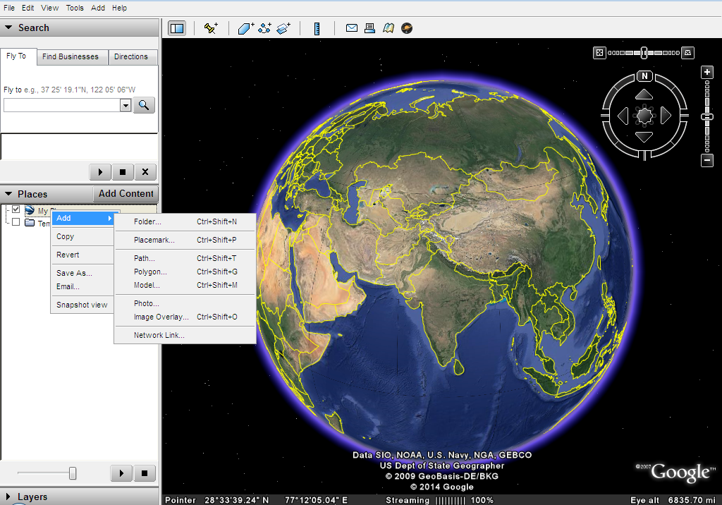
Using Google Earth for Land Evaluation
Google Earth is often where we start when evaluating land. It’s a go-to tool for quickly getting a feel for a site’s general slope and layout. It’s easy to use, accessible, and—best of all—it’s free, making it a popular choice for those first stages of evaluation.
But Google Earth has its limitations. To evaluate the land in 2D, you can draw polylines in Google Earth. However, assessing the entire site this way often requires drawing hundreds of lines, which means a lot of time and patience. This manual process makes the evaluation tedious and compromises its accuracy and overall quality.Since it doesn’t provide a comprehensive analysis of the entire site, it’s really just a rough overview—helpful, but not detailed enough for final decisions.
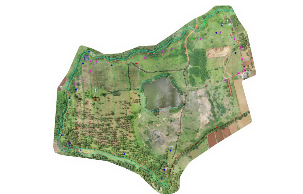
On-Site Surveys by Topographical Engineers
When you need more accuracy, that’s where site surveys come in. Topographical engineers head out to the site to take on-the-ground measurements and assess the topography, soil, and other physical characteristics essential for determining cut/fill limits and earthwork calculations. With around 95% accuracy, these surveys give you the detailed, reliable data you need to plan and execute a solar project successfully
However, site surveys are no small task. They can take up to 1.5 days and cost at least $2,000. And since they involve humans, there’s always a chance for errors, which can affect the accuracy and reliability of the results.c
A New Way to Evaluate Land for Solar Projects
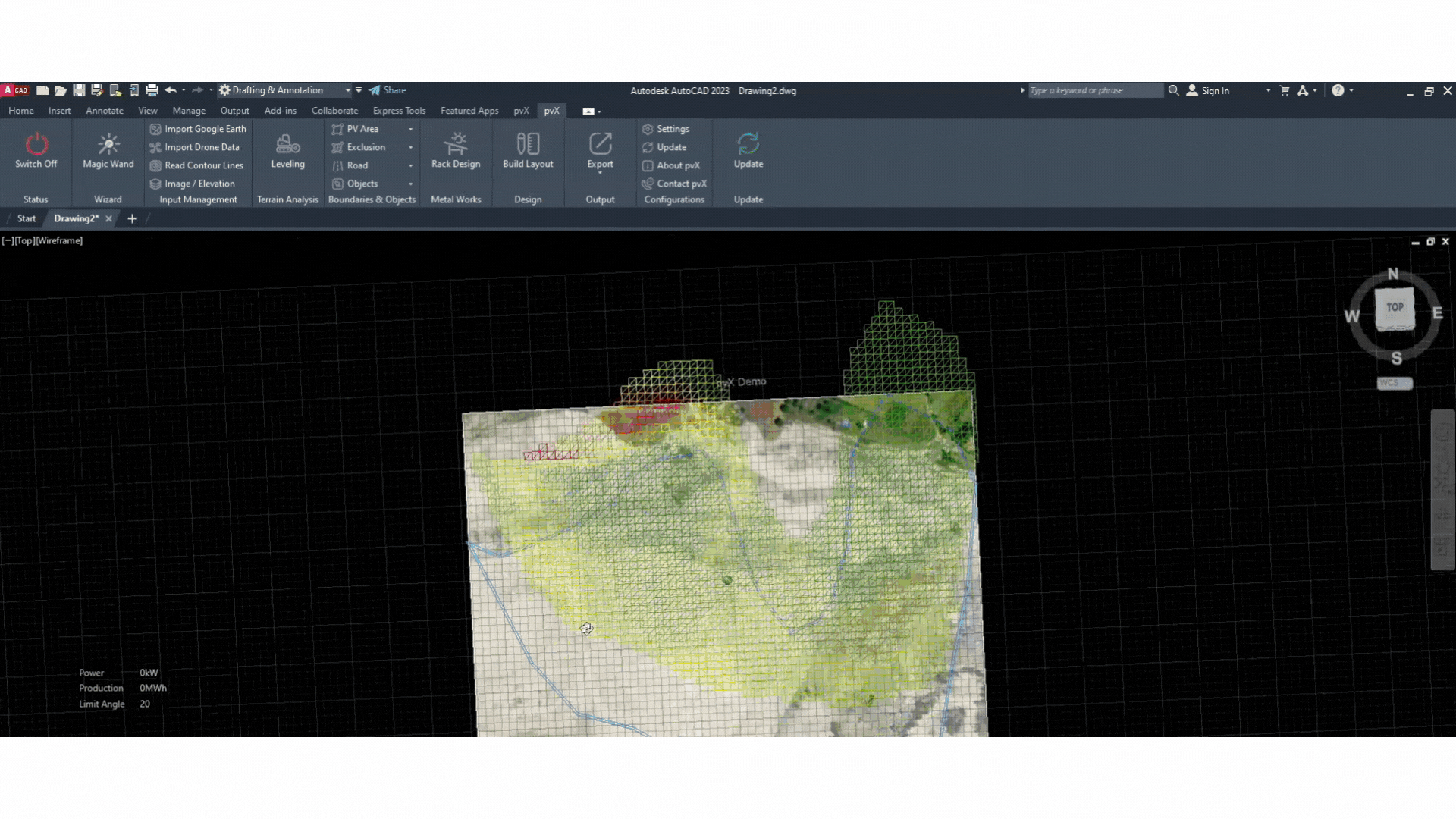
Unlike the old-school methods that demand a lot of time and resources, pvX lets you evaluate land remotely by generating detailed 3D models of the site.
With pvX, you can assess a site’s suitability from anywhere, cutting out the need for physical visits. Using advanced algorithms and geospatial data, pvX delivers precise evaluations of slope, topography, and other critical factors that determine if a site is right for a solar project And since pvX is an AutoCAD extension, you can easily perform the precise planning of PV areas and exclusion areas.
It’s faster, more comprehensive, and just as reliable as the traditional site surveys we’ve relied on for years.
Bringing Efficiency and Accuracy
The big win with pvX is efficiency. Traditional land evaluation methods can take days and rack up significant costs. pvX, on the other hand, gets the job done in seconds. This speed gives project planners the power to make quicker decisions, which can help keep the entire project on track.
When it comes to accuracy, pvX holds its own against traditional surveys. With a 95% accuracy rate, it matches the precision of detailed on-site evaluations done by topographical engineers. This enables users to run accurate solar simulations with detailed site data.The difference? pvX uses advanced technology to analyze the site remotely.
And let’s talk about cost-effectiveness. Traditional site surveys can cost upwards of $5,000, but with pvX, land evaluation is almost free. Is pvX a free tool? Not exactly. However, with a yearly subscription, you can evaluate an unlimited number of sites, making the cost per evaluation nearly zero. That’s very useful, especially for projects with tight budgets. If you’d like to know more about pvX pricing, give us a call or write us an email here.
Traditional vs. pvX: A Side-by-Side Comparison
To really see how pvX stands out, it’s worth comparing it directly with traditional land evaluation methods like Google Earth and site surveys. Here’s how they stack up on three key factors: accuracy, time efficiency, and cost.
Factor | Google Earth | Site Surveys | pvX |
Accuracy | ~5% accuracy | 95% accuracy | 95% accuracy |
Time | ~1 minute | ~1.5 days | 6 seconds |
Cost | Free | $5,000+ | Free |
As the solar industry continues to expand, the demand for efficient and accurate land evaluation methods is more crucial than ever.
If you’re involved in planning or developing solar projects, you might want to give pvX a try.